[Update brought to you by our weather partners at AccuWeather]
Overnight, as Hurricane Dorian moved into the warmer, open waters, greater concern grew about the storm’s projected path towards Florida.
The concern is that Dorian could strike as a major hurricane over the upcoming holiday weekend.
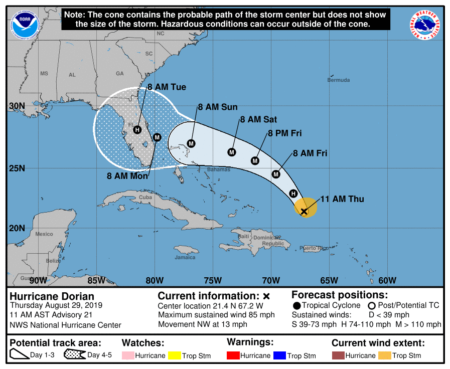
The National Hurricane Center said during its noon advisory that the storm was about 220 miles north-northwest of San Juan and 370 miles east-southeast of the Bahamas. The storm, still packing maximum sustained winds of 85 mph, was moving at 13 mph as it entered the open — and warmer — waters of the southern Atlantic.
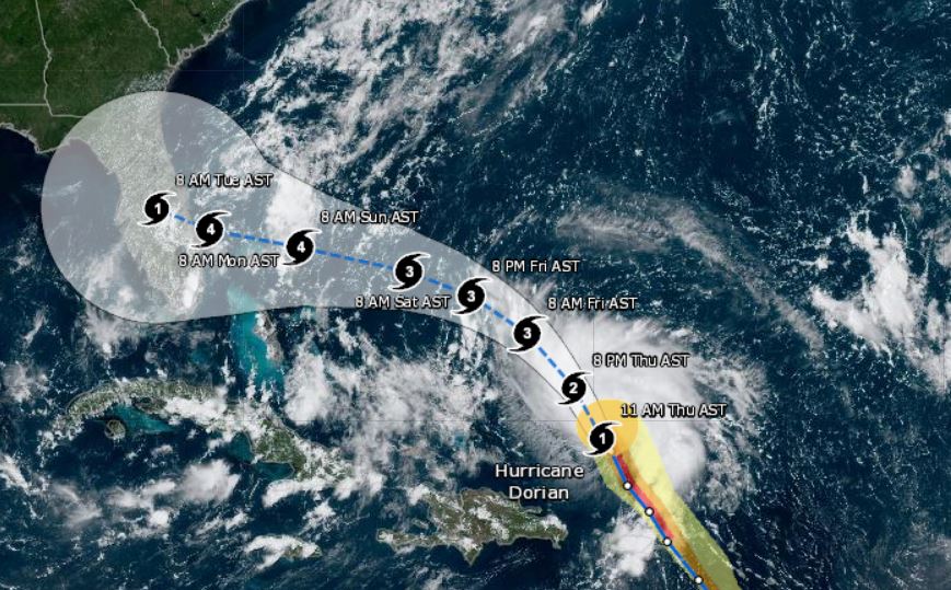
As Dorian tracks north, it is expected to reach Category 4 hurricane strength before approaching the southeastern United States coast.
A Category 4 hurricane has maximum sustained winds of at least 130 mph.
“The strengthening to a major hurricane is projected to occur while making a more westward turn toward the northern Bahamas this weekend,” According to AccuWeather Senior Meteorologist Alex Sosnowski.
“Dorian is forecasted to pass over the extremely warm water of the Gulf Stream, where the water is rapidly replaced by more warm water, you have to be concerned that a Category 5 storm is on the table before reaching the U.S. coast,” Sosnowski said.
A Category 5 hurricane has maximum sustained winds of at least 157 mph.
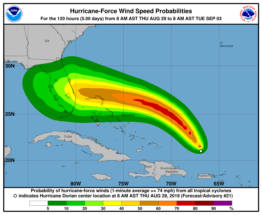
The NOAA has stressed that this model is not set in stone and that, a greater turn to the north is still possible at this point.
“The hurricane could still turn to the north and bypass Florida completely,” the NOAA said. “However, we are still urging everyone along the coast of Florida and the Carolinas to be prepared.”
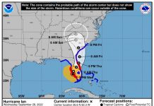
Graphic-The letter inside the dot indicates the NHC’s forecast intensity for that time:
D: Tropical Depression – wind speed less than 39 MPH
S: Tropical Storm – wind speed between 39 MPH and 73 MPH
H: Hurricane – wind speed between 74 MPH and 110 MPH
M: Major Hurricane – wind speed greater than 110 MPH
